
This article is part of our 55th Anniversary blog series. To learn more, visit our 55th Anniversary page.
Taking the uncertainty out of travel
In three quarters of the world, you cannot drink a clean glass of water [from the tap]. That is a painful reality.
– Dr Vincenzo Marcolongo, quoted in a Special Report in the Financial Post, September 30th, 1978.
Imagine this: The year is 1978 and you’re going to Bangkok in September. What do you wear? What will the weather be like? What food is safe to eat? Can you drink the water?
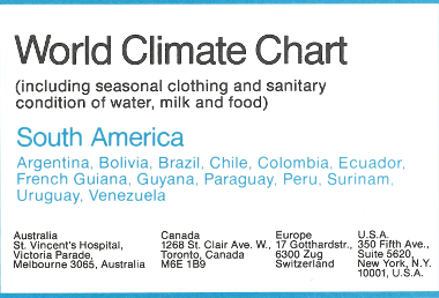
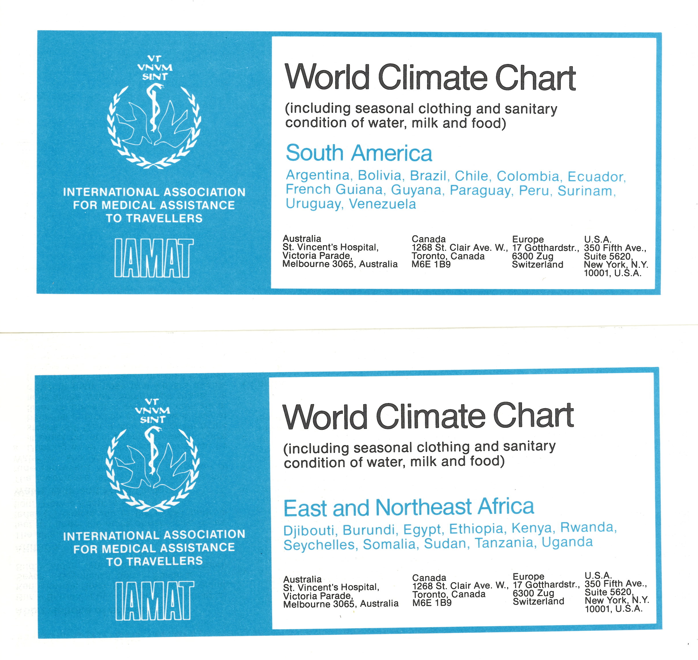
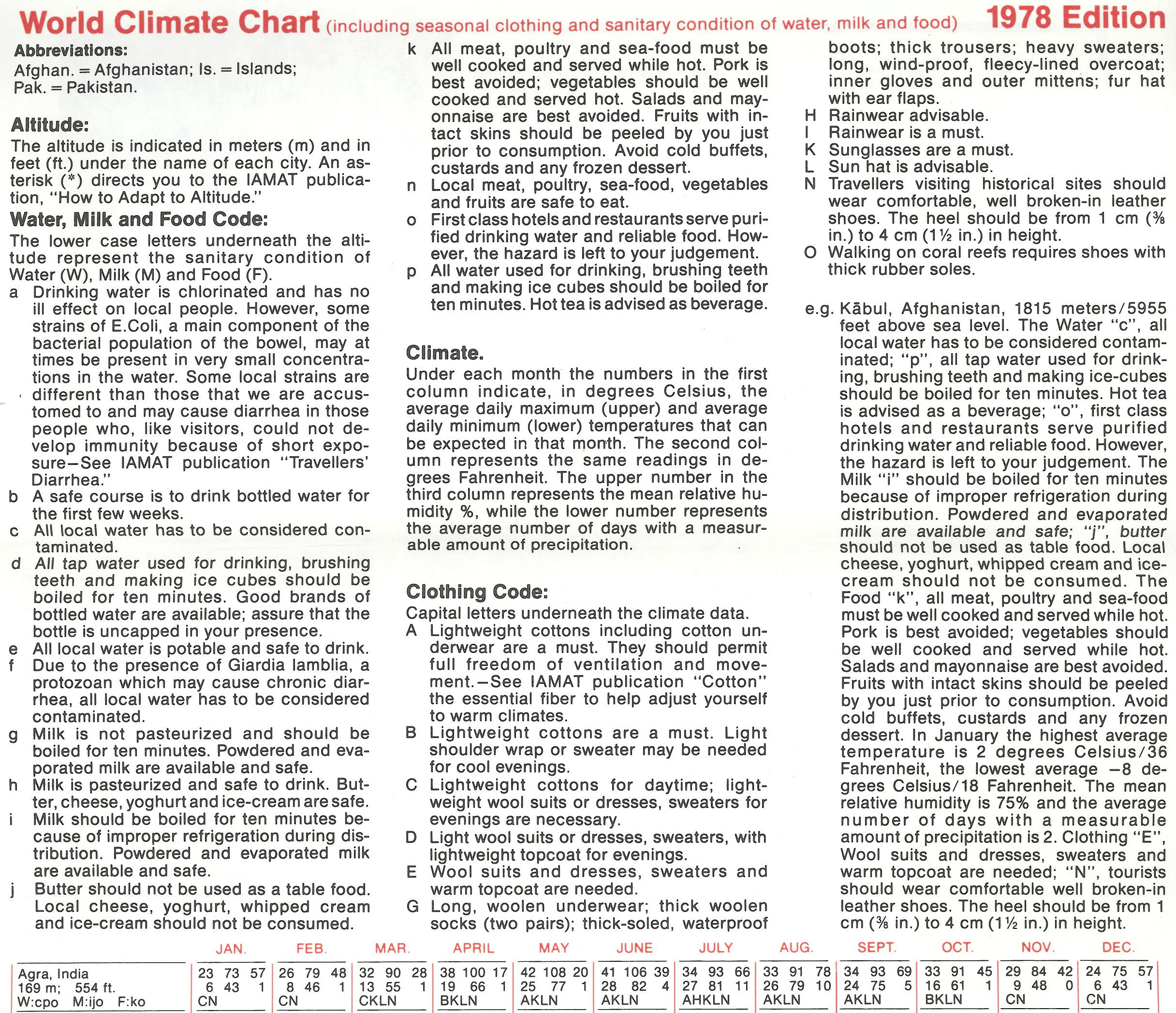
For many of our members, the answers they needed were in our 24 World Climate Charts. First published in 1978, the World Climate and Food Safety Charts were one of our most popular publications. Although they were originally produced to raise funds for IAMAT’s future travel medicine research, the charts also gave travellers vitally important information on climate and food and water safety.
24 charts, 1440 cities
This compact package of 24 charts listed climate and sanitary conditions of food and water in 1440 cities worldwide. Climate information included average monthly temperatures, precipitation, humidity, altitude, and recommended clothing. As for food, the charts included advice on the availability of safe drinking water, plus detailed notes on whether foods like milk, cheese, meat, seafood, fruit, and salad were safe to eat.
It took 10 years of research to compile the charts, which were updated each year with feedback from doctors, embassies, and municipalities around the world. IAMAT aggregated 40 years of climate data to produce these charts, making this information easily accessible to the public for the first time.
Making data work for travellers
Before climate information was available on the internet, the charts were an invaluable tool for travellers. The information they provided helped travellers plan for the climate at their destination and avoid common food and waterborne illnesses like travellers’ diarrhea.
Today, information on climate and food and water safety can be found in the Country Health Advice section of our website.
Visit our 55th Anniversary page for more articles celebrating milestones in our history, our work, and our relationships with doctors and travellers. Here’s how you can get involved:
- Take an #IAMAT55 selfie with your membership card or medical directory
- Share how IAMAT has made a difference in your travels
- Tell a friend about IAMAT (tag us with #IAMAT55 on Facebook or Twitter!)
- Shoot a 30-60 second video showcasing why you love to travel
- Donate and give the gift of healthy travel